Previous slide
Next slide
Maps

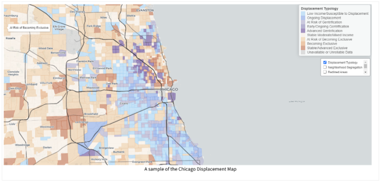
Displacement Typology Maps
Visualize where gentrification & displacement are happening in 15+ U.S. and international metropolitan regions.
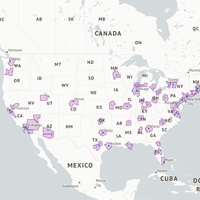
Housing Precarity Risk Model
Examine which neighborhoods have the most households with the highest risk of displacement, eviction, and long-term poverty.
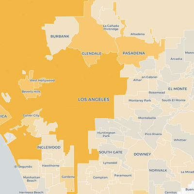
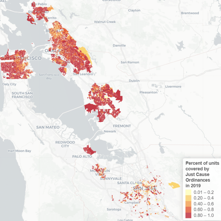
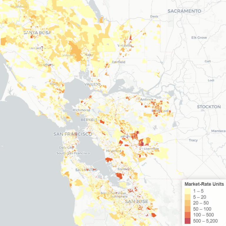
Policy Tools Maps
See where anti-displacement policies and strategies are in place throughout the Bay Area and Los Angeles.
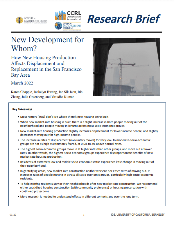
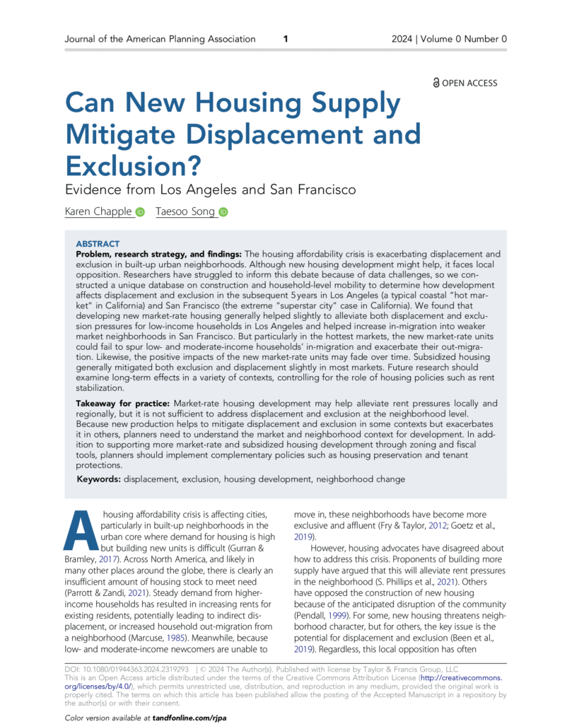
Reports
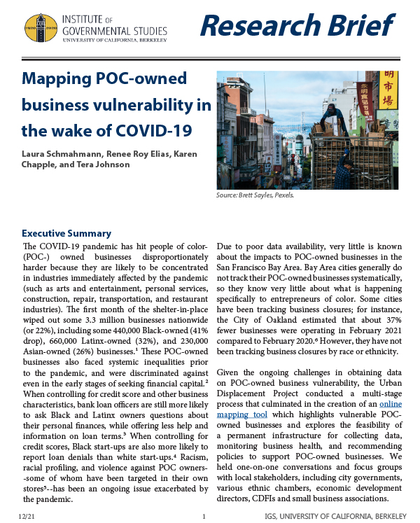
Mapping POC-Owned Business Vulnerability in the Wake of COVID-19
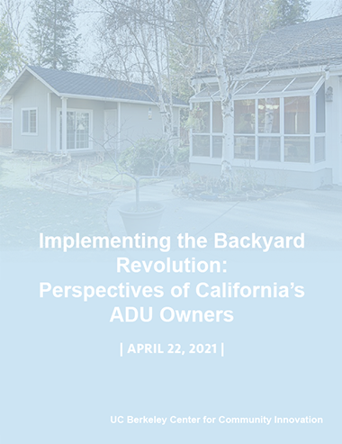
Implementing the Backyard Revolution
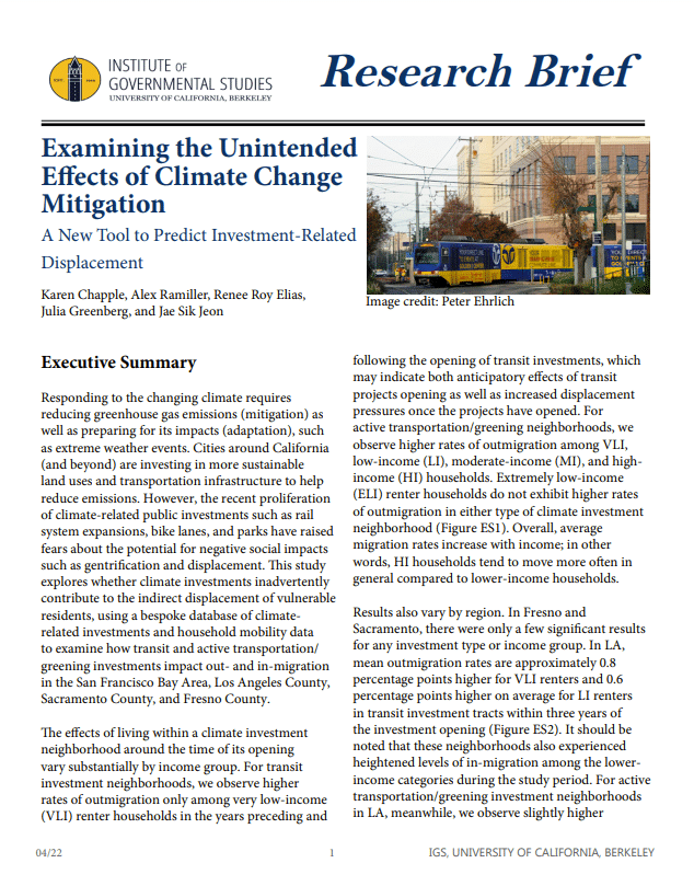
Examining the Unintended Effects of Climate Change Mitigation

Rebuilding for a Resilient Recovery
